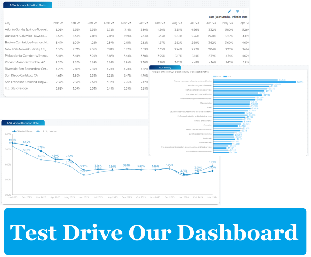
The most productive area in the evolving governance of today’s mega-cities is at the intersection of predictive analytics and the explosion of data gather the Internet of Things (IoT).
With an abundance of information at city administrators’ fingertips, a more accurate prediction about how future events could unfold would be available thus affording a faster, more accurate response for both emergencies and long-term trends.
An in-depth article from GovInsider reports:
“One of the biggest and most common roadblocks in the way of a smart city government is civic departments existing and behaving as silos — cut off from efficient workflows because they don’t have easy access to the same data. The open sharing of information and using that shared data to facilitate collaboration between stakeholders is a major step to creating a smarter city.
“GIS helps enable collaboration with real-time location-based tools that allow everyone in the same organization to stay connected with the same up-to-date information. For instance, a field crew working on utilities can take their mobile devices with them and record the infrastructure that needs repair, which is then instantly fed back to personnel monitoring on dashboards at the office.
[…]
“This model for smart cities with open and connected spatial data allows everyone – from planners to managers to the public – to understand what needs to be done, and access the proper tools and resources to achieve those goals. But it starts with three simple upgrades that a community must make: organising and geo-enabling data; activating and connecting sensor networks; and supporting cross-organisational collaboration.”


